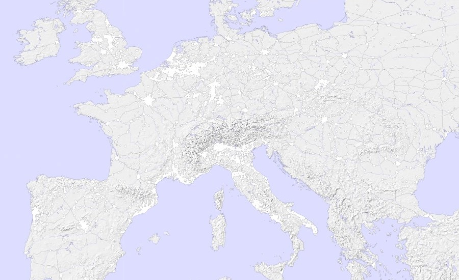
Maps without borders
If we are able to make maps without the state involved in the process, like it has been done with great success in the OpenStreetMap project, do we still have to represent the state so prominently and uniformly on these maps? While removing national and administrative borders completely may be a radical step—after all, states and borders are still very relevant, both socially and in actual physical space—, it will provide a kind of test bench for the purpose of looking for other means to structure the space on a map. Borders could be reintroduced, possibly with different representations according to their real-world relevance and appearance. But these borders will have a completely different semantics than the ones we find on the map right now: instead of an unquestionable „ground truth“ that actually establishes the authority of the map in the first place, they will now be integrated under the authority of the map as a proposition of something of relevance—a relevance that can be questioned, put in relation to other things, or refuted altogether.